Adaptation Pathway
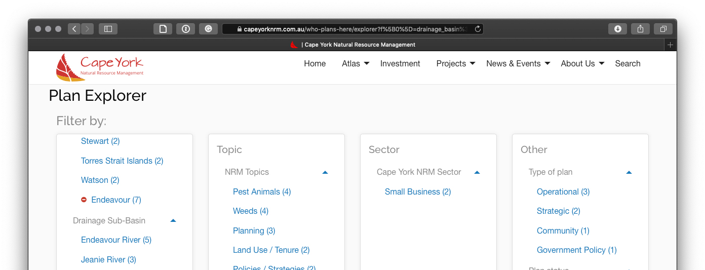
This pathway will promote the use of the whole of the Cape York NRM Atlas to share knowledge and exchange capacity across groups. The focus is on region-wide planning processes for climate change adaptation using the information gathered from several sources, both technical and community- generated, without creating a new plan.
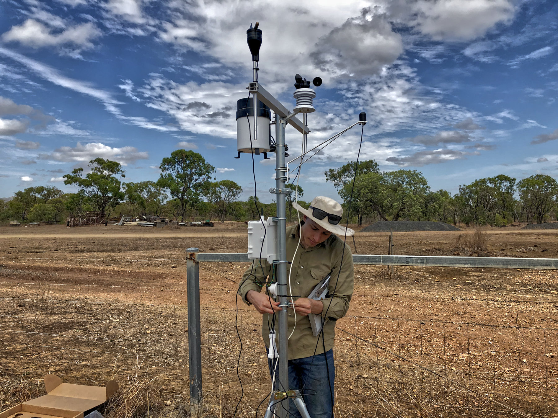
The Atlas is intended to support the Cape York community, particularly landholders, to use and develop tools to integrate land management techniques such as water management, infrastructure assessments, agricultural planning for soil health and monitoring of climate impacts on threatened species.
How was it identified
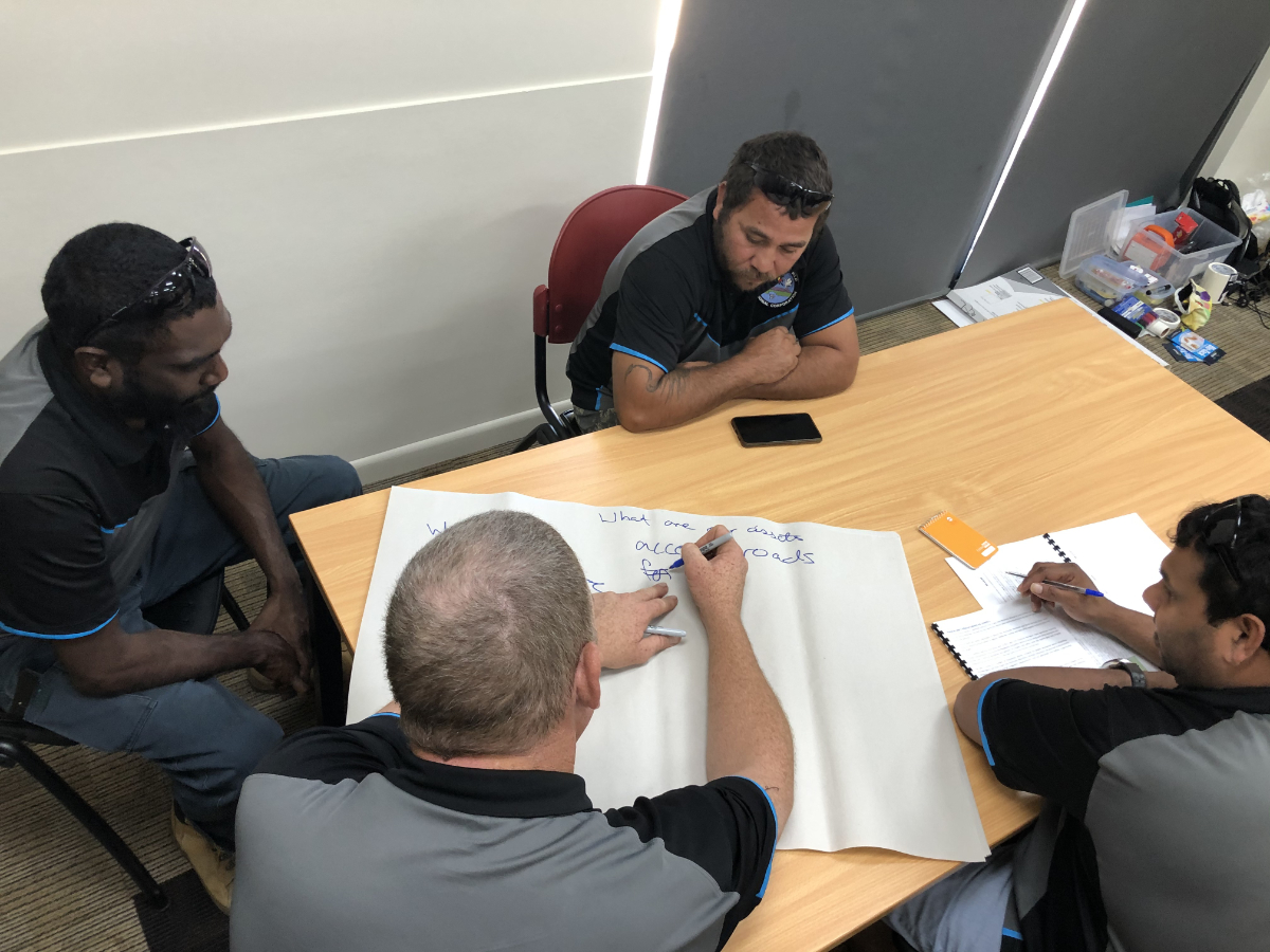
Cape York has a long history of failed planning processes which led to a new phase of planning by doing. This was informed by the development of Cape York NRM, community discussions and projects to improve resilience of NRM. This pathway was particularly developed through the Regional NRM Planning for Climate Change project. Using a systems approach to planning for climate change was identified at the 2014 RIS workshop.


