
Menu

Adaptive and implemented Regional NRM, community, country and agricultural plans

Adaptation Pathway

Community-based plans for sustainable livelihoods and conservation have a big influence on changes in land management and identifying innovative new land use options. Planning can assist people and country to respond to local climate change impacts that are highly variable and require local actions to adapt.

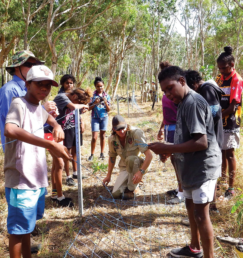
Cape York NRM is promoting a planning by doing approach, which is about helping people to develop and implement their own plans. The approach identifies regional NRM targets, adaptation pathways and investment priorities that the community agree with as they are pivotal in implementing the plan.
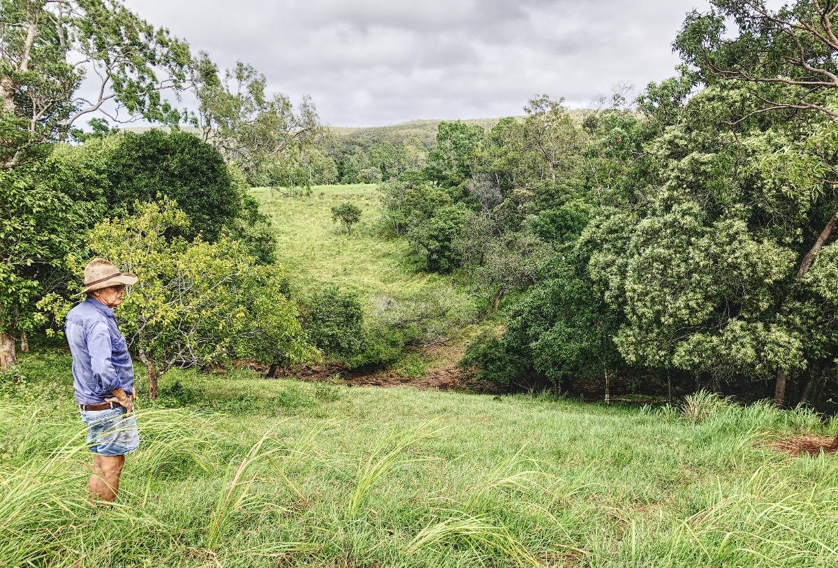
This pathway provides access to information, planning and implementation across scales, supporting groups to plan on country and carry out their actions.

Examples include the regional NRM plan and Atlas planning tools, regional collation and analysis of data, with Cape York NRM as custodians for local data and building on-ground monitoring capacity. Plans include property plans, pest management plans, catchment management plans, Healthy Country Plans and threatened species recovery plans. This pathway is about supporting the development of these plans, implementing them and learning from actions locally and regionally.

How was it identified

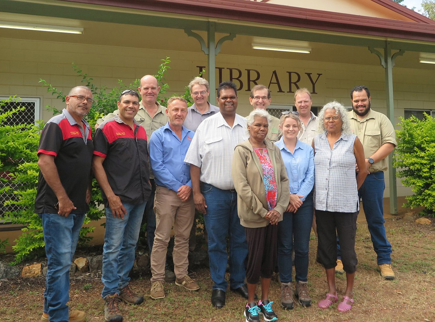
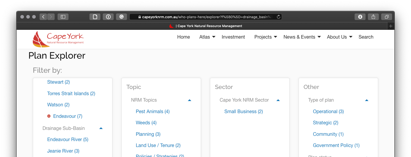
Cape York has a long history of failed planning processes. This pathway was developed from the collation of on-country and community plans on Cape York through multiple organisations, particularly for the Who Plans Here site.

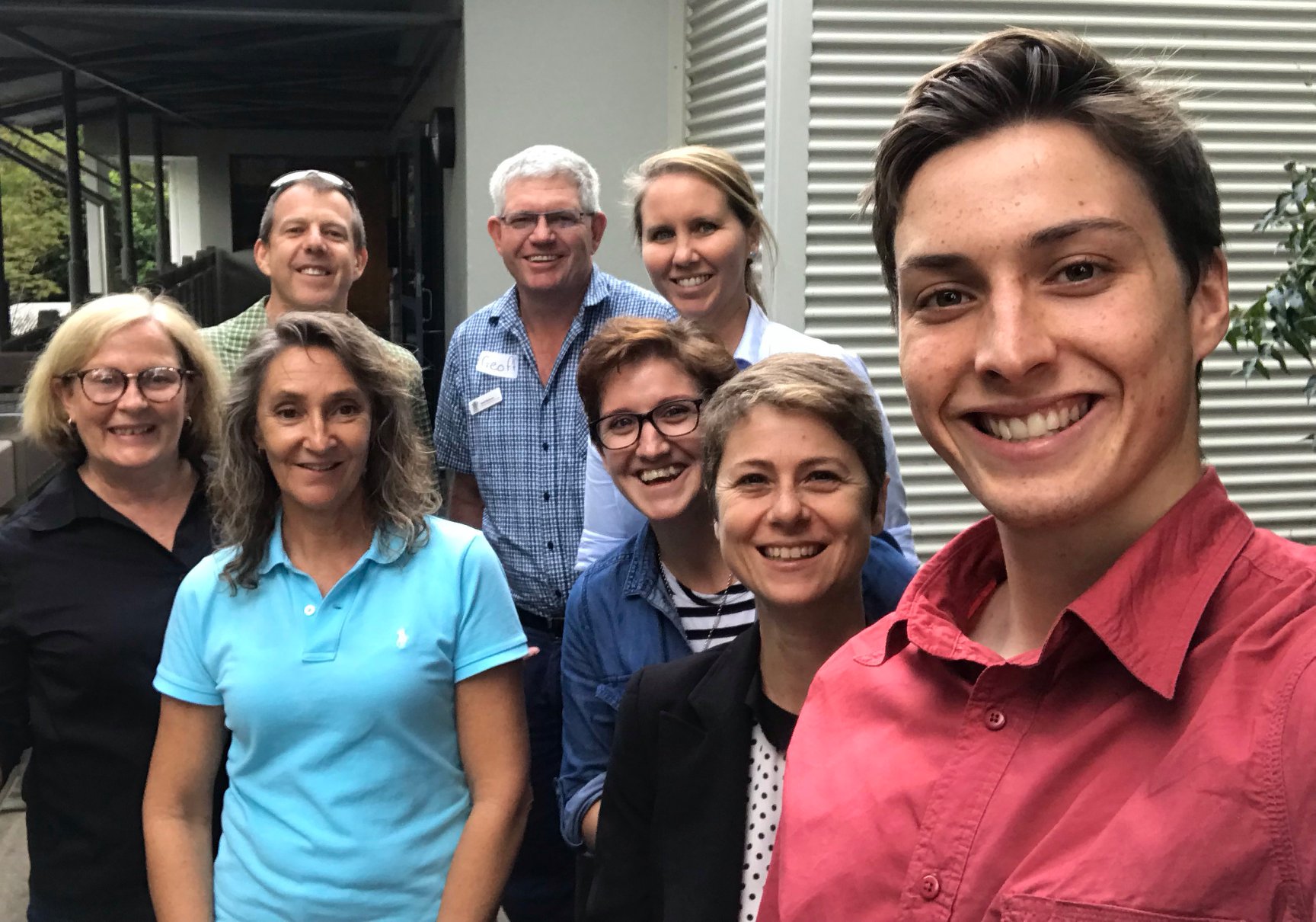
Cape York Indigenous groups have also participated in the Healthy Country Planning process that follows the Conservation Action Standards. Support for enhancing this process was suggested at the 2014 RIS workshop.

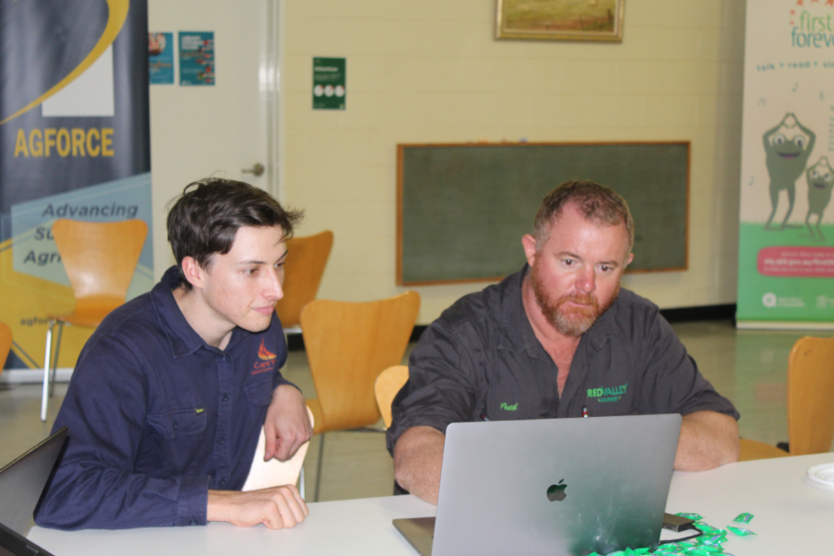
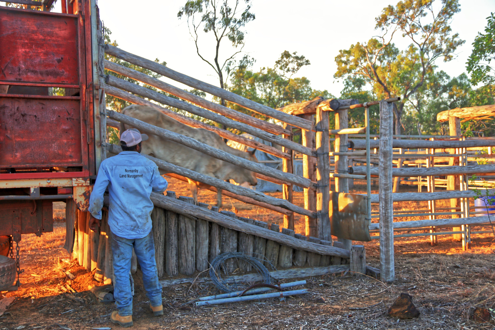
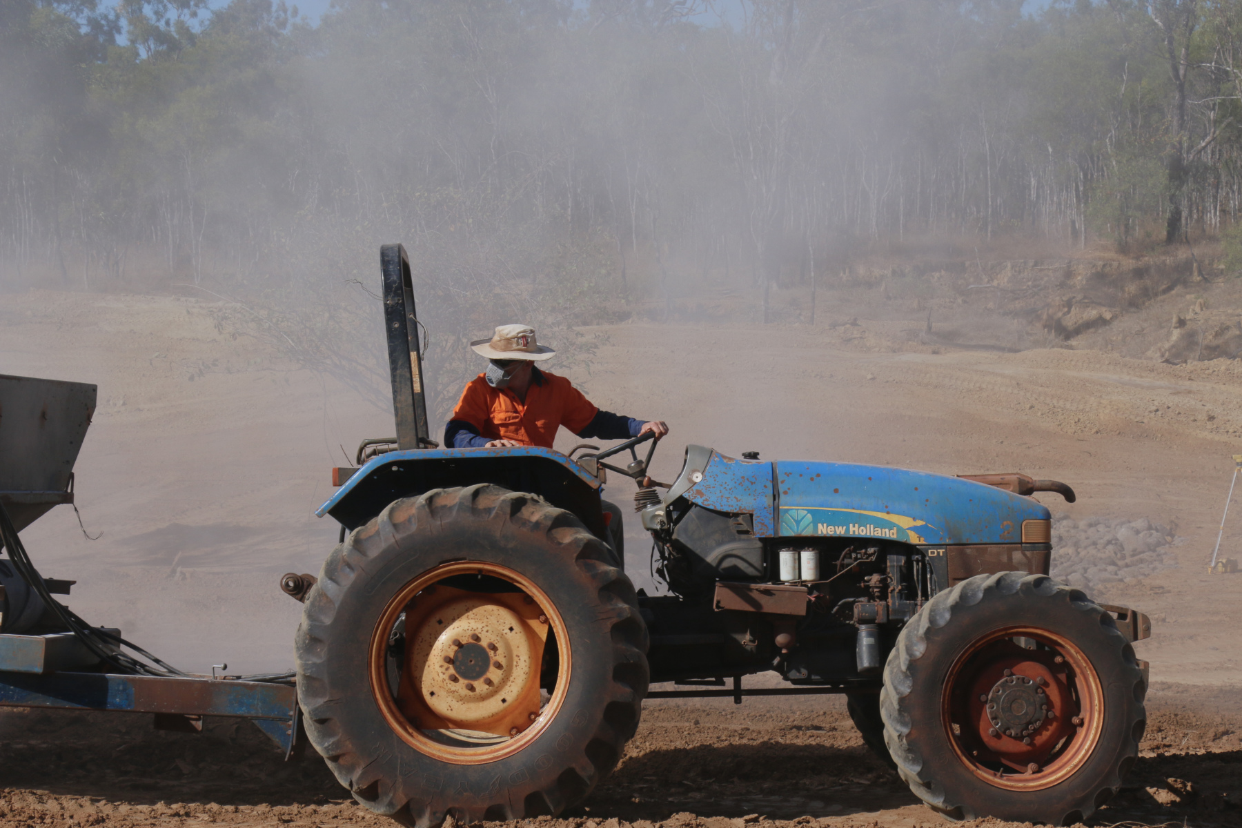
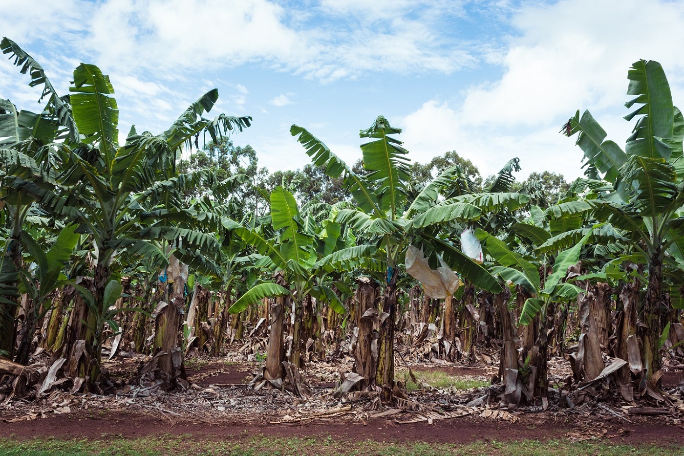
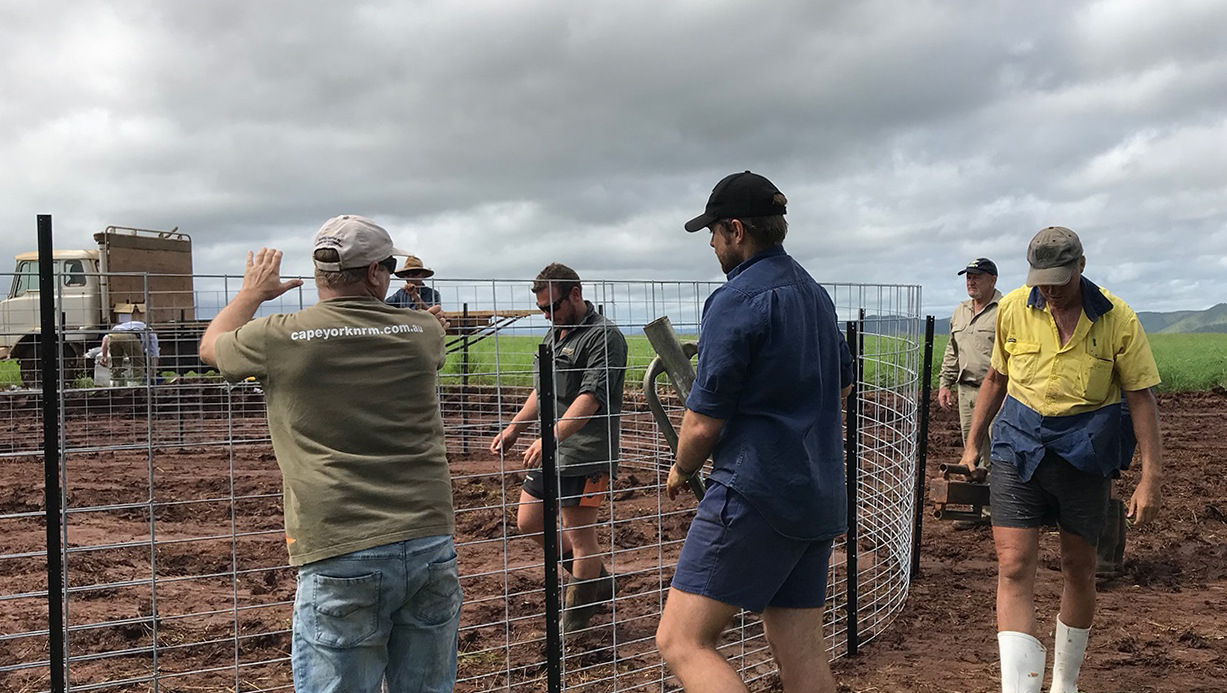
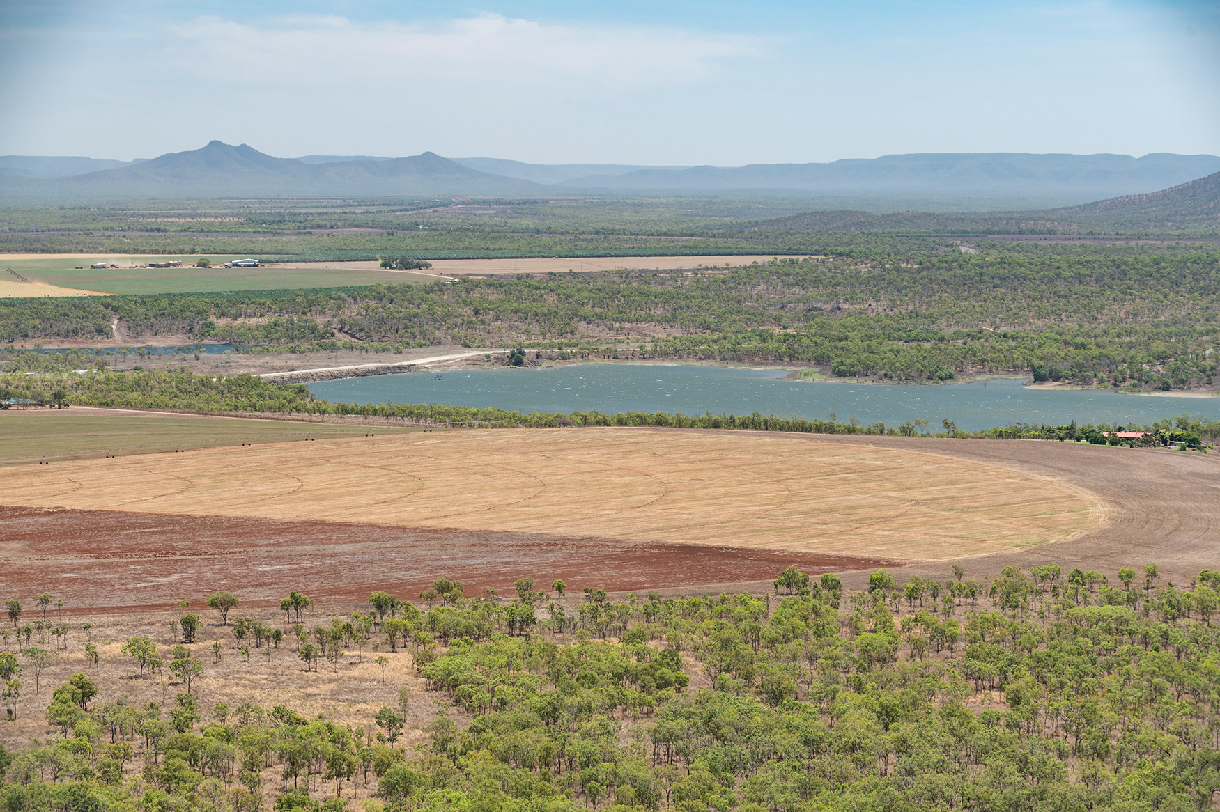
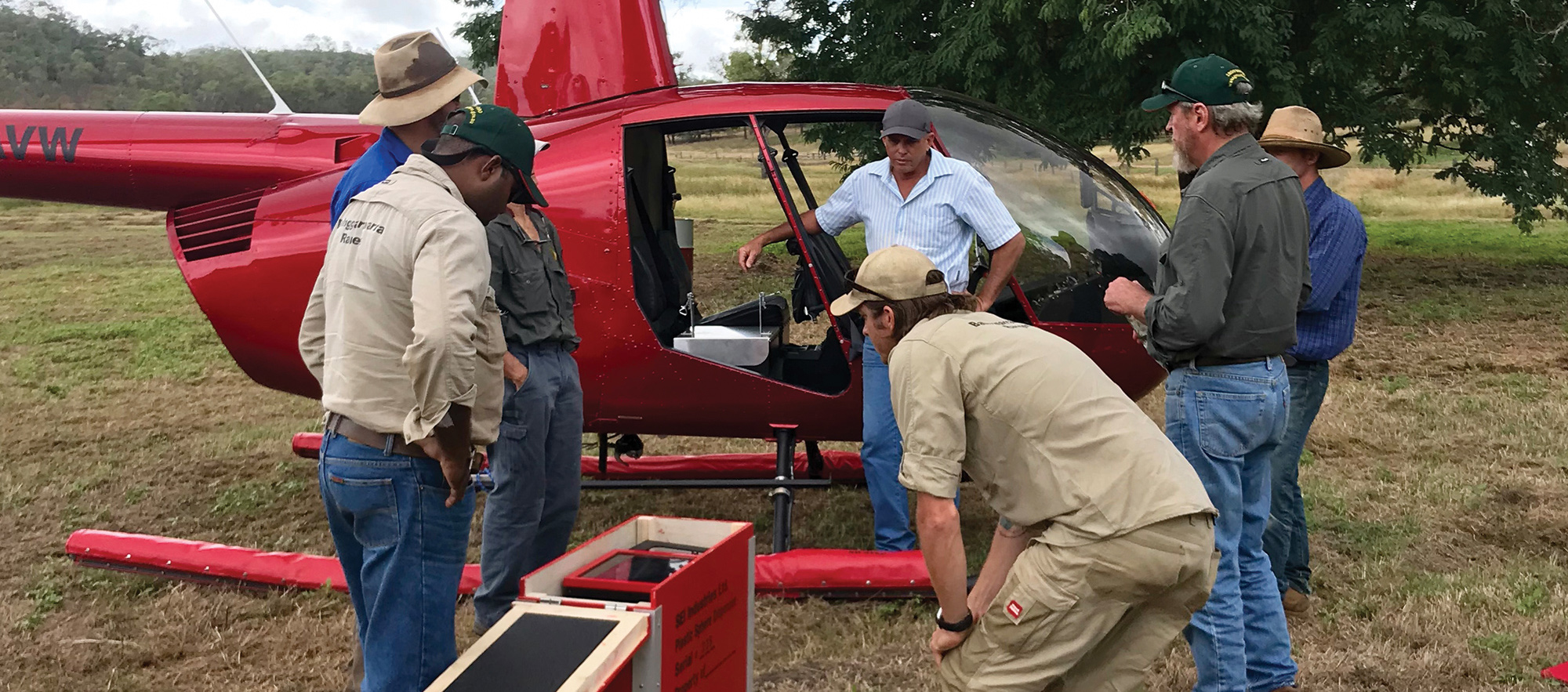
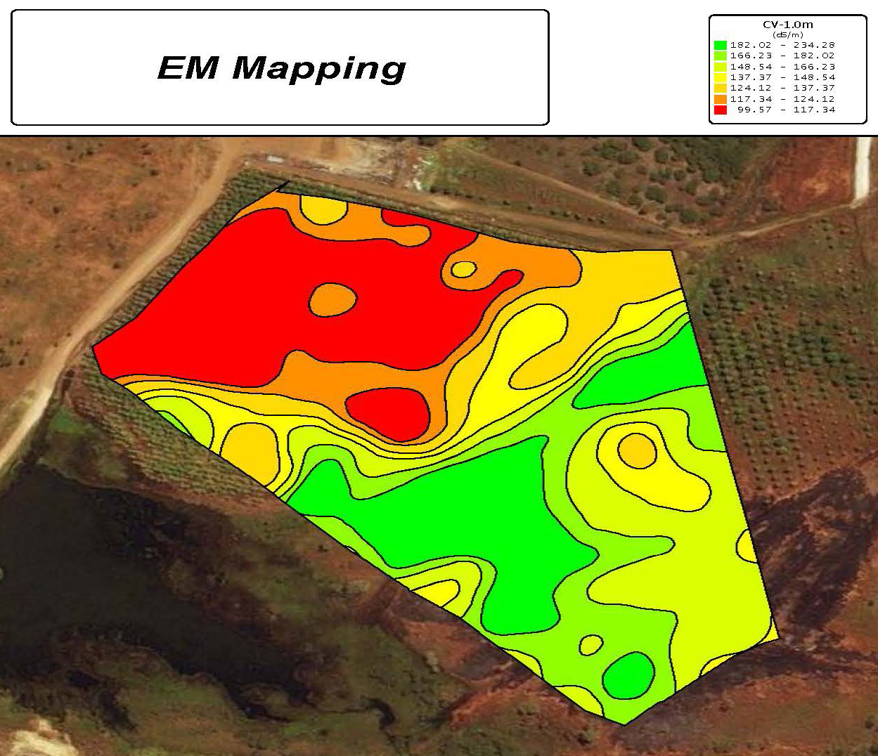
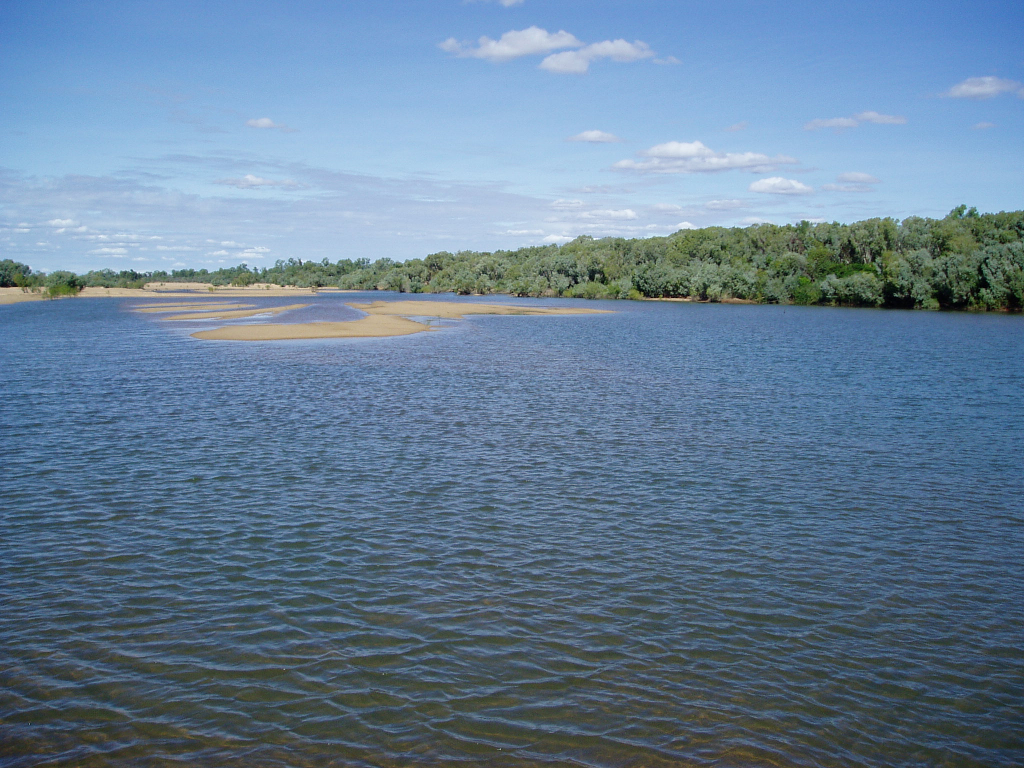
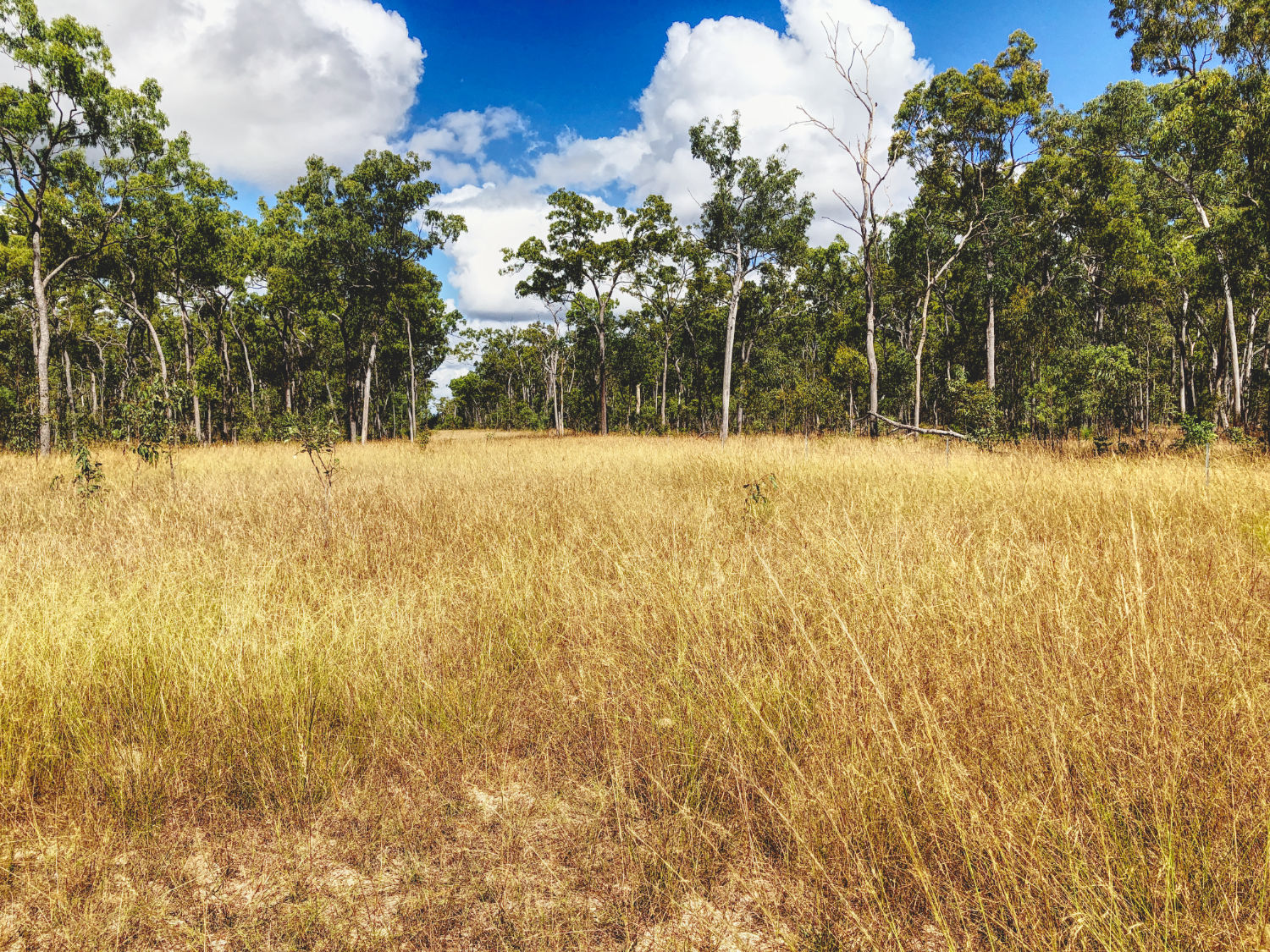
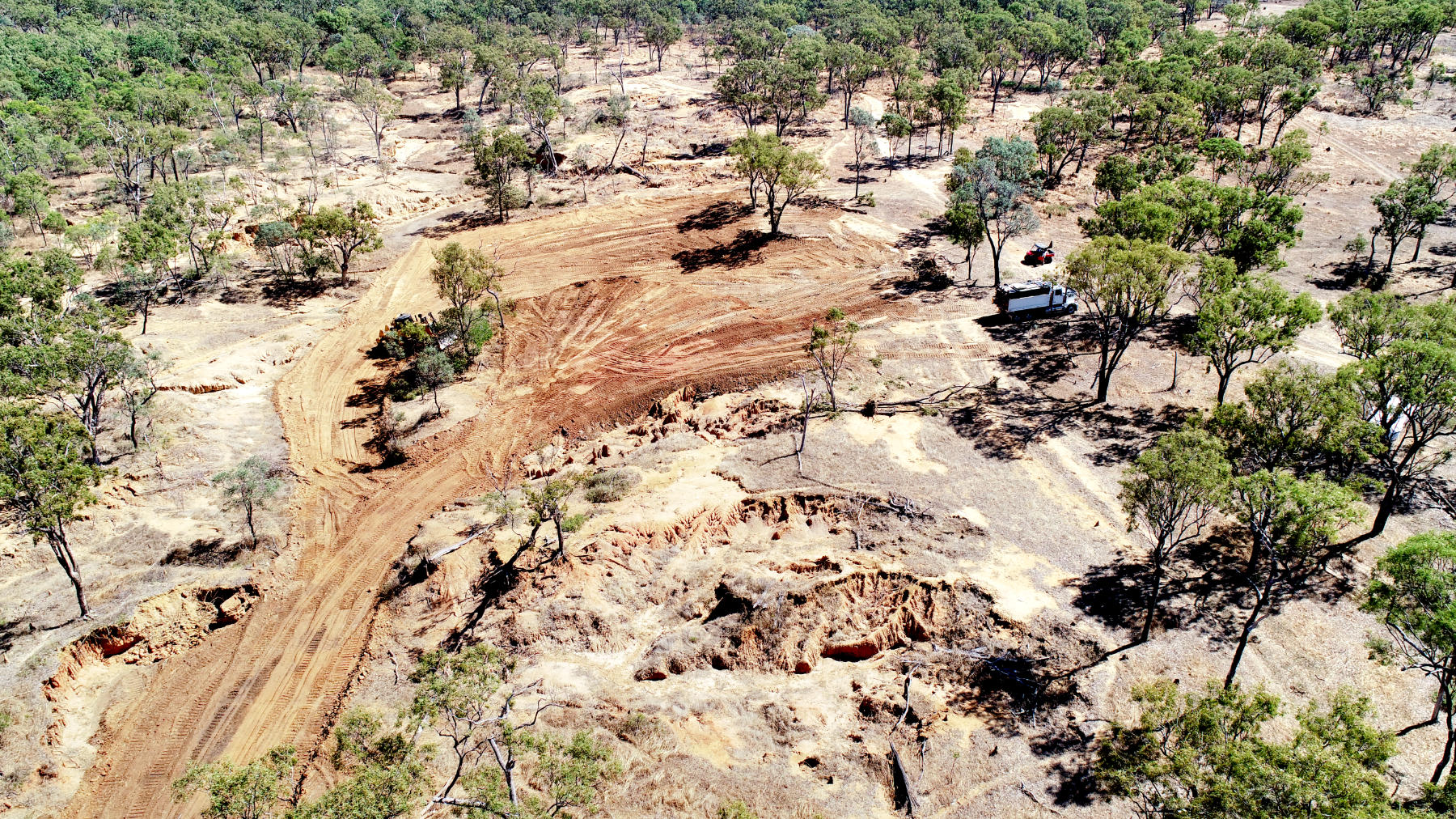
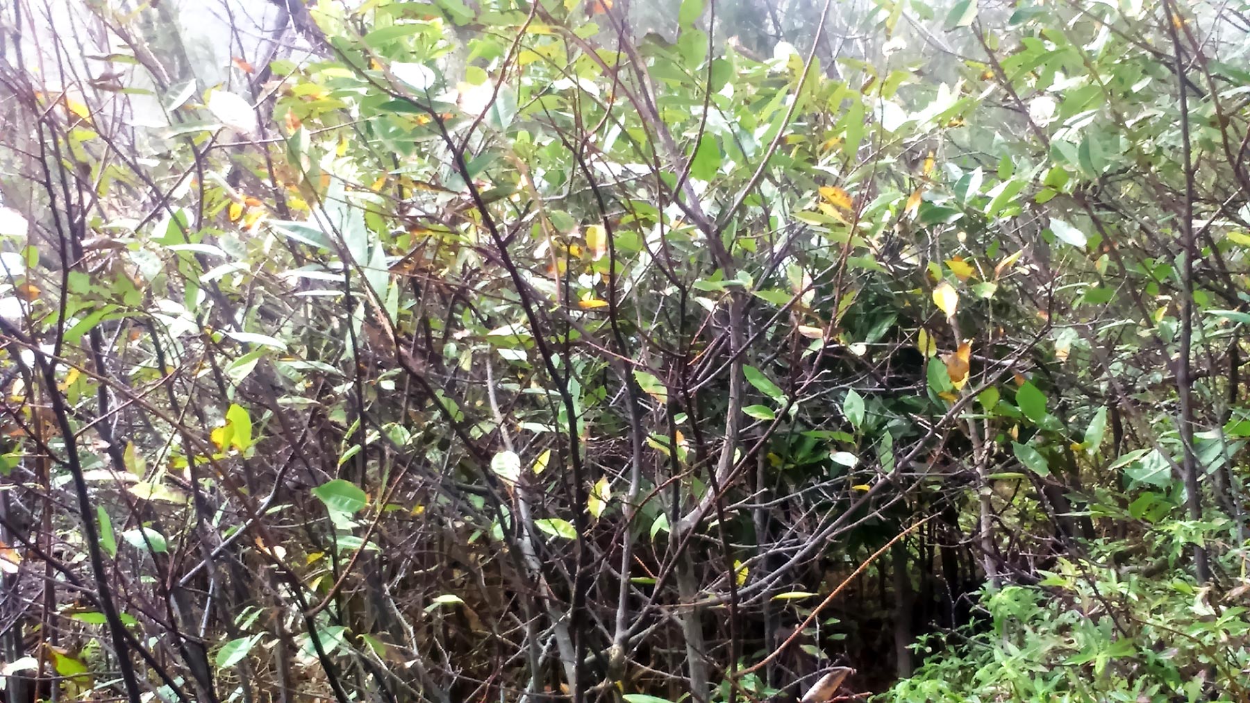
Working with land managers and Cape York organisations, Cape York NRM have also been involved in property management planning, including soils, water quality, land condition, fire and pest management plans for Graziers and Lakeland properties. Engagement with the Grazing and Horticultural community has also occurred through Industry Roundtables and delivery of Sustainable Agriculture projects, Reef Grants and the development of the Water Quality Improvement Plan implementation strategies.

Scale

Subregional

Change

Incremental

Listen

  • Provide mapping services to support landholders and Traditional Owners to map Indigenous ecological knowledge, habitats, ecosystems and threats.

  • Conduct community-led planning and monitoring on country and collaborative research.

  • Review and synthesise currently collected community, property and country plans on Cape York through the Who Plans Here portal.

Learn

  • Assist landholders, Indigenous groups, organisations and industry to develop threat assessments and plan on-ground sustainable livelihood and conservation strategies, including protection of climate refugia.

  • Support the Healthy Country Planning process that Indigenous groups are implementing to agree on visions and aspirations for country plans.

  • Support grazing and horticulture properties to plan on their lands through mapping and identifying options to improve productivity, soil health and water use.

Look

  • Support property, catchment and Indigenous groups who have approved plans to secure funding opportunities.

  • Use tools such as scenario planning, biophysical and social mapping to identify local climate change adaptation pathways.

  • Identify facilitators to support Healthy Country Planning, property planning, pest management planning and catchment planning.

Example Monitoring Indicator

  • The number of plans developed and uploaded to Who Plans Here.

Assumptions

  • Planning tools and support will suit the needs of each landholder or group.

  • New plans will include new options for land use that target ecosystems, livelihoods and climate change impacts.

  • Plans are achievable and able to be implemented.

  • The implemented actions will improve productivity, ecosystem health and resilience to climate change.

Opportunities

  • Improved capacity of land managers, Indigenous and community groups to plan and implement projects.

  • Improved monitoring indicators and data for long-term management of country.

  • Improved sustainability of land uses through better understanding of country and biodiversity.

  • Developing new opportunities and innovative practices for land management and economic productivity.

Implications

  • New and useable community, property and on-country plans.

  • More efficient management of land.

  • Higher productivity and better incomes.

  • Improved resilience of ecosystems to climate change.

  • Protection of climate refugia.

  • Improved effectiveness of threat abatement.

  • Improved information about climate projections and impacts.