Trialling drones for turtle track monitoring
Trialling drones for turtle track monitoring
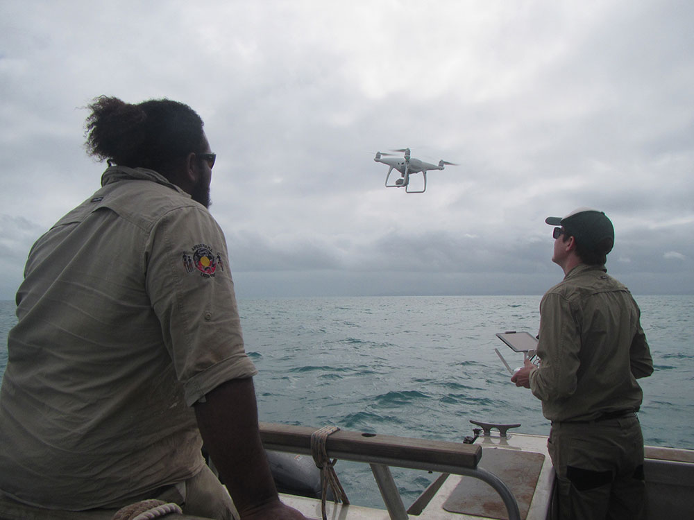
The Western Cape Turtle Threat Abatement Alliance (WCTTAA) has recently conducted trials to explore the potential use of UAV (unmanned aerial vehicles), or drones, for turtle monitoring activities. The NPARC/ Apudthama Rangers participated in the trials in June 2018 on Apudthama Country where marine turtles can nest all year round.
Conservation and resource management organisations are increasing their use of drone technology due to its capacity to improve safety and data quality, as well as the drone’s ability to cover large areas over a short time, therefore reducing costs.
Each year, WCTTAA members conduct extensive land-based monitoring surveys of marine turtles nesting on sections of the western Cape York coastline that are declared as census beaches. Census beaches range in length from approximately 10 to 45 kilometres. Many of these beaches are difficult to access so they are not visited frequently by Ranger groups outside of the census period.
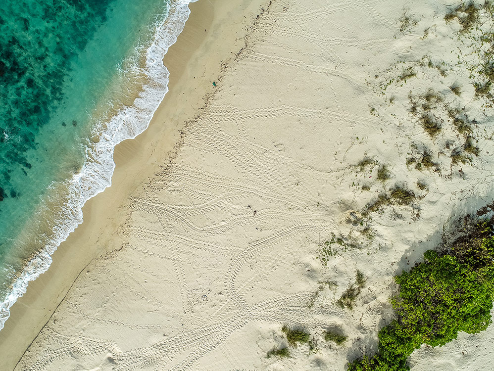
In their turtle monitoring activities, Rangers use the different turtle track characteristics (size, gait) left in the sand to determine species and numbers of marine turtle nesting. Rangers also monitor and record nest predation and hatching events. The value of this monitoring relies on accurate and complete coverage of the census beaches during set times of the year, the results of which then contribute to local planning for predator management as well as regional and global understanding of threatened marine turtle populations.
It is this combination of high cost, difficult access, and reliance on visual cues of western Cape turtle monitoring that lends itself well to the potential use of drones.
Droner, a Cairns-based company, were engaged to supply and operate the drones for WCTTAA’s turtle track monitoring trials. With Droner’s expertise, WCTTAA was able to trial different types of drones (fixed wing and multi-rotor), operation styles (manual and automatic flight paths), launching platforms (beach and boat), and various flight parameters (height, camera angles, etc) for monitoring turtle tracks. The data collected from the drone trials was subsequently downloaded and analysed.
Overall, the 1.4 kilogram, multi-rotor drone with a 20 MP inbuilt camera provided the best results for the turtle track monitoring activities. This drone had good stability to deal with windy conditions, high camera resolution, boat-launching capability, and could deliver both grid and linear flight paths. Under suitable weather conditions, this drone captured high-quality aerial imagery that could be analysed for turtle track species and numbers.
However, the use of drones for this work still has its challenges and limitations. The amount of data collected means that significant time and storage space is required for data processing and analysis. Poor weather conditions, such as rain and wind, can prevent or significantly reduce the drone’s capacity to capture high-quality imagery. Additionally, the standard operating conditions for recreational drone use in Australia requires the drone to remain within line of sight. This limitation may prove significant with the long distances currently being monitored on the western Cape.
While drones cannot replace the outcomes achieved by having Rangers on the ground, it is clear that they can provide significant benefits in certain conditions, and can complement current land and sea monitoring activities in these remote and challenging locations.
A final report is currently being completed on the outcomes of the drone trials and will be made available on the WCTTAA website on completion (www.capeyorknrm.com.au/wcttaa).
This project is funded by the Nest to Ocean Turtle Protection Program, which is a joint initiative of the Australian and Queensland Governments. WCTTAA is supported by Cape York NRM.


-
< prev
-
next >

